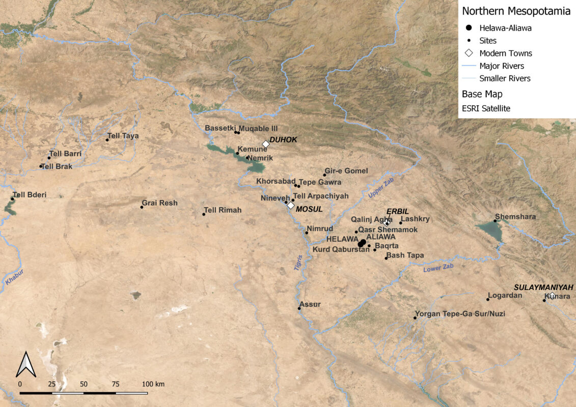
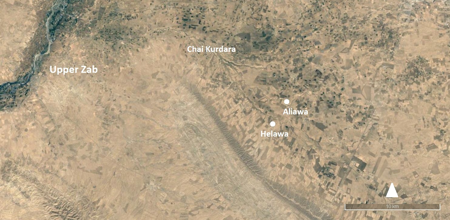
MAIPE’s research area is located in the south-western part of the Erbil Plain. This area is formed by a hydrographic basin which drains the waters deriving from the Zagros mountains to the east towards the Tigris valley to the west and is delimited to the north and to the south by the Upper and Lower Zab, the two main tributaries.
In antiquity, the plain offered an optimal environment for agricultural and pastoral activities due to the presence of a web of waterways which flowed into the Upper Zab and to a number of communication routes which connected the eastern passageways in the Zagros mountains to the Tigris valley to the west.

Map of Northern Mesopotamia (ESRI Satellite) with some of the major archaeological sites
The extensive survey operations carried out by Harvard University within the framework of the Erbil Plain Archaeological Survey (directed by J. Ur), have revealed the presence of a dense settlement pattern datable to the Neolithic and Chalcolithic (Hassuna, Halaf and Ubaid periods; 7th – early 5th millennia BC) and especially to the Late Chalcolithic and Early Bronze Age (5th-3rd millennia B.C). Later, the region was affected by the Kingdom of Akkad’s (2350-2200 BC) expansion and then became part of the north-eastern territory controlled by the 3rd Dynasty of Ur (2100-2000 BC).


